The Wild Atlantic Way route atlas
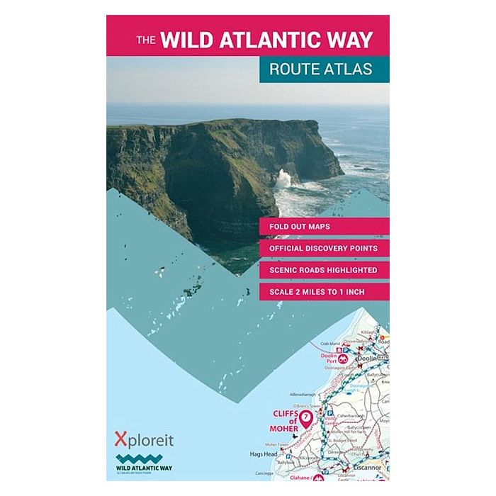
The Wild Atlantic Way along Ireland's west coast is the world's longest defined coastal route. It includes Ireland's most northerly point, Malin Head in Donegal and its most southerly point, Mizen Head in Cork. All along the way you will find a myriad of spectacular discovery points with incredible scenic views.
This atlas splits up the route into 30 foldout maps which are detailed yet easy to read. The coastal roads are classified so that you are instantly aware of any narrow sections and you can also see where the really scenic stretches are located. Each section is drivable in one day or less and there are useful distance charts for towns and villages to help you plan your journey. All of the official Discovery Points are clearly shown including the 15 iconic Signature Points. Over 40 different categories of visitor information help you locate numerous hidden gems and well-known attractions. A variety of coastal and forest walks in the vicinity are detailed. The atlas is equally suitable for short excursions or for navigating the entire route, an indispensable tool for those exploring this wild and rugged seascape.
The map legend is in English, German and French.
| Wydawca | Xploreit Maps |
|---|---|
| Kategoria | Mapy książkowe (atlasy) |
| Kolejność | 1.01110237290871 |
| Czy są czasy przejść? | Nie |
| Czy są szlaki turystyczne? | Nie |
| Skala główna | 126720 |
| Block send with Locker | Nie |