Peak District / Dark Peak area
90,70 zł
W magazynie
SKU
260652
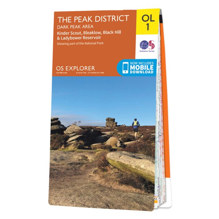
Map sheet number OL1 in the OS Explorer series is ideal for exploring all that the Dark Peak area of the Peak District has to offer. Visitors to this area will enjoy high gritstone hills, steep-sided valleys and moorland plateau. Highlights of the area include: Kinder Scout, The Pennine Way, Edale, Derwent Valley Heritage Way, Ladybower Reservoir, Black Hill, and Glossop.
The OS Explorer map for The Peak District - Dark Peak Area is available in both the standard paper version and weatherproof 'Active' version.
Includes mobile downloadWith this map you will receive a code for use on your iOS or Android smartphone or tablet. Find our more at Mobile Download FAQ.
| Wydawca | Ordnance Survey |
|---|---|
| Kategoria | Składane |
| Kolejność | 1.01104720755696 |
| Brak prawa zwrotu | Nie |
| Czy są czasy przejść? | Nie |
| Czy są szlaki biegówek? | Nie |
| Czy są szlaki turystyczne? | Nie |
| Skala główna | 25000 |
| Block send with Locker | Nie |