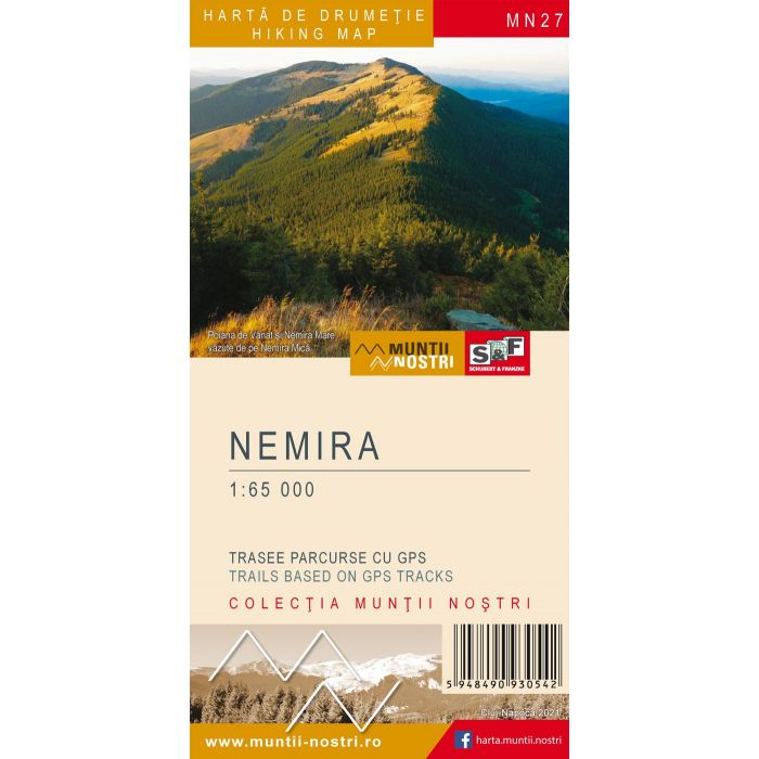
Nemira harta de drumetie/hiking map
The Nemira Mountains are bordered to the north by Ciuc Mountains through Uzului Valley, to the east by Berzunti Mountains through Trotus River, to the south by Vrancea Mountains through Oituz Valley, Oituz Pass and the northern part of Raul Negru Depression, and to the west by Bodoc Mountains through Casin Creek and by Ciuc Mountains through Casin Depression and Margareta Valley.
The geology of the mountains is reflected in the landscape: on the overthrust of the inner and outer flysch the landscape is gentle (lower elevation), while the main ridge was formed on the syncline (the highest elevation): Nemira Mare Peak 1,649 m, Sandru Mare Peak 1,640 m, Nemira Mica Peak 1,627 m, Crucii Peak 1,614 m, Sandru Mic Peak 1,579 m.
The most visited area in the Nemira is the spa town of Slanic-Moldova, with many carbonated, alkaline, and sulfurous mineral springs. Apart from the resort, there are also several reserves in the massif: Kicsi Romlasmezo Peat Bog Botanical Reserve (Rupturile Mici), Apa Rosie Peat Bog Botanical Reserve, Apa Lina-Honcsok Peat Bog Botanical Reserve, Izvorul Alb Forest Reserve, Balatau Lake Faunal Reserve (former natural dam), Valea Uzului Volcanic Tuff Geological Reserve, Falcau Volcanic Tuff Geological Reserve, and Dofteana Alder Reserve. Other notable tourist attractions are: the area of Nemira Mare Peak with the two lakes, Slanic Waterfall (near Slanic-Moldova spa town), and Caraslau Waterfall (near Oituz Gorge).
The map of Nemira Mountains (MN27) is the 27th map of the new Muntii Nostri collection.
The map was edited using the latest mapping techniques and it was printed on moisture resistant paper. It is easy to read and simple to use due to the mapping styles, specific to Schubert & Franzke company, and as a result of practical information structuring. It is handy and everything is exactly where it should be. The map is useful for both hiking enthusiasts and professionals.
All the trails have been recorded in the field using a GPS. They are described in detail in both Romanian and English. Each trail has a technical box containing with necessary information. The map also contains the UTM grid, a projected coordinate metric system useful in the quick measurement of distances on the map.
| Wydawca | Schubert&Franzke |
|---|---|
| Kategoria | Składane |
| Kolejność | 0.997820604806685 |
| Brak prawa zwrotu | Nie |
| Czy są czasy przejść? | Nie |
| Czy są szlaki biegówek? | Nie |
| Czy są szlaki turystyczne? | Tak |
| ISBN | 5948490930542 |
| Numer mapy | MN27 |
| Rodzaj papieru | 229 |
| Rok wydania | 2021 |
| Skala główna | 65000 |
| Block send with Locker | Nie |