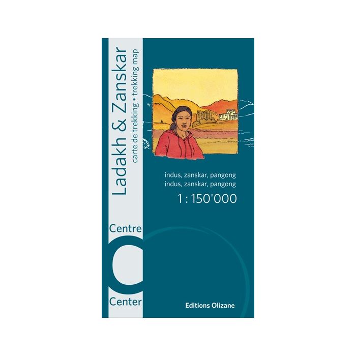
Ladakh & Zanskar centre (Indus, Zanskar, Pangong)
85,00 zł
W magazynie
SKU
PCK5A004
New updated version, printed on water and tear resistant Polyart paper.
This map covers the center of the Ladakh-Zanskar region around Leh, between Padum in the west and Pangong in the east.
Made on the basis of satellite images and recent information collected in the field, it has contour lines, a shaded relief, and indicates all villages, monasteries, roads, bridges and other places of tourist interest. Checkpoints that prohibit access to certain valleys in border areas with China are also mentioned.
The map contains coordinates for use with GPS.
| Wydawca | Editions Olizane |
|---|---|
| Kategoria | Składane |
| Kolejność | 1.0020757207135 |
| Brak prawa zwrotu | Nie |
| Czy są czasy przejść? | Nie |
| Czy są szlaki biegówek? | Nie |
| Czy są szlaki turystyczne? | Nie |
| ISBN | 9782880864132 |
| Nazwa handlowa | Ladakh & Zanskar centre (Indus, Zanskar, Pangong) - Mapa wodoodporna |
| Rodzaj papieru | 229 |
| Rok wydania | 2013 |
| Skala główna | 150000 |
| Block send with Locker | Nie |