EXPOL42 Kielder Water / Forest
90,70 zł
Brak w magazynie
SKU
229040
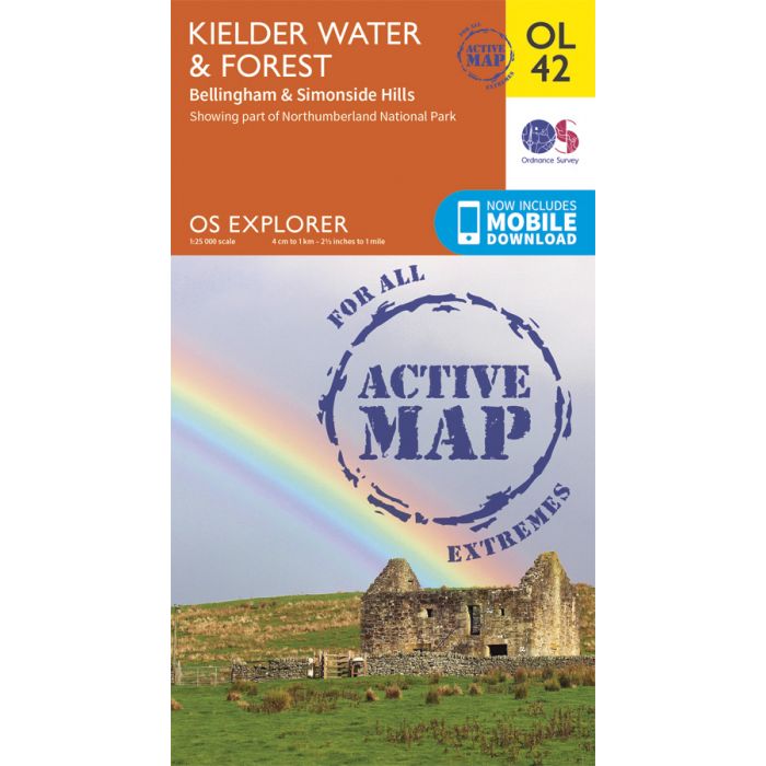
Map sheet OL42 in the OS Explorer series covers an area of Northumberland National Park stretching from Kielder Forest in the west to Netherwitton in the east, and takes in the town of Bellingham. Highlights of the area include: Bloody Bush & Larriston Fells Walk around Kielder Water, The Pennine Way national trail and St. Oswald's Way.
Includes mobile downloadWith this map you will receive a code for use on your iOS or Android smartphone or tablet. Find our more at Mobile Download FAQ
| Wydawca | Ordnance Survey |
|---|---|
| Kategoria | Składane |
| Kolejność | 8.0 |
| Brak prawa zwrotu | Nie |
| Czy są czasy przejść? | Nie |
| Czy są szlaki biegówek? | Nie |
| Czy są szlaki turystyczne? | Nie |
| Skala główna | 25000 |
| Block send with Locker | Nie |