EXPOL24 Peak District - White Peak area
54,40 zł
Brak w magazynie
SKU
228977
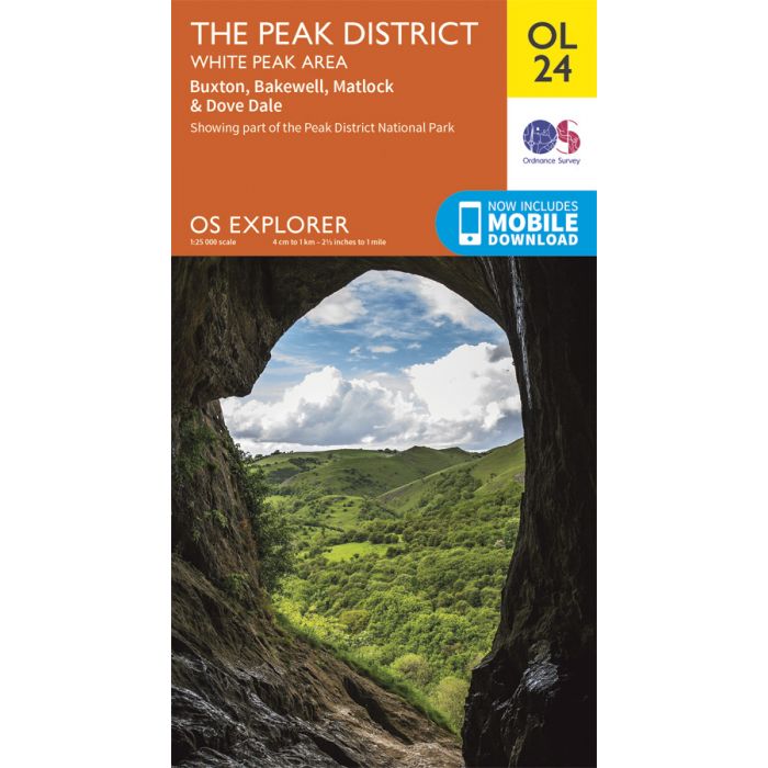
Map sheet number OL 24 in the OS Explorer series covers the Peak District area surrounding Buxton, Bakewell, Matlock and Dove Dale and is the perfect map to use when exploring the White Peak area. The scenery is a treat for outdoors enthusiasts who will be able to see the outcrops of light coloured limestone that give the area its name.
Includes mobile downloadWith this map you will receive a code for use on your iOS or Android smartphone or tablet. Find our more at Mobile Download FAQ.
Whether you’re a seasoned outdoor expert or a leisurely sightseer, with the OS Explorer OL24 map of the White Peaks to hand, you’ll be on the right track no matter where your adventure takes you.
Trusted by outdoor enthusiasts from all walks of life, this easy-to-follow fold-up map is the perfect companion for all your excursions in the White Peaks area of the Peak District, from days out, to week-long hikes.
Taking its name from its limestone landscape, this part of the Peaks is full of fascinating caves and dry river valleys to explore. If walking’s what you’ve set out to do, why not tackle the 25-mile long White Peaks Challenge?
Using the pretty town of Stoney Middleton as a base, serious climbers can take on ‘Our Father’, a challenging climb up Windy Buttress. Alternatively, head underground to explore over 3 000 metres of caves at the limestone gorge of Middleton Dale. There are bustling towns in the white peak area of the Peak District including Buxton and Matlock, or you could treat yourself to one of Bakewell's legendary tarts.
Whether you’re passionate about cycling and sightseeing, or rambling and riding, you’ll get the most out of your days out in the White Peaks with the OS Explorer OL24 map to guide you. You’ll find every fine detail covered, from rivers to rights of way, as well as a wealth of information you won’t find on other maps.
Highlights include: Castle rock, Middleton Dale, Derbyshire Dales, The Roaches, Buxton, Bakewell, Matlock, Dovedale, Chatsworth House, limestone caves, and the thermal springs at Middleton Stoney.
Add it to your basket today, and start mapping out your next adventure in the White Peaks.
| Wydawca | Ordnance Survey |
|---|---|
| Kategoria | Składane |
| Kolejność | 8.0 |
| Brak prawa zwrotu | Nie |
| Czy są czasy przejść? | Nie |
| Czy są szlaki biegówek? | Nie |
| Czy są szlaki turystyczne? | Nie |
| Skala główna | 25000 |
| Block send with Locker | Nie |