EXPOL21 South Pennines
54,40 zł
Brak w magazynie
SKU
228974
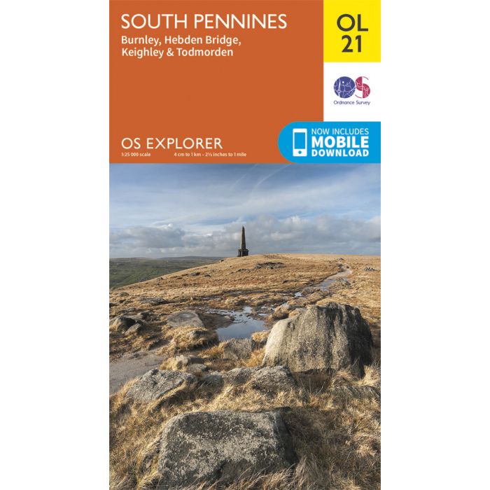
Map sheet number OL21 in the OS Explorer series covers an area of the Pennines and includes Burnley, Hebdem Bridge, Todmorden and Keighley
Includes mobile downloadWith this map you will receive a code for use on your iOS or Android smartphone or tablet. Find our more at Mobile Download FAQ.
This area is criss-crossed by footpaths, including the Pennine Way and Calderdale Way. The highest peak is Lad Law at 517m
| Wydawca | Ordnance Survey |
|---|---|
| Kategoria | Składane |
| Kolejność | 8.0 |
| Brak prawa zwrotu | Nie |
| Czy są czasy przejść? | Nie |
| Czy są szlaki biegówek? | Nie |
| Czy są szlaki turystyczne? | Nie |
| Skala główna | 25000 |
| Block send with Locker | Nie |