EXPL124 Hastings / Bexhill
90,70 zł
Brak w magazynie
SKU
221671
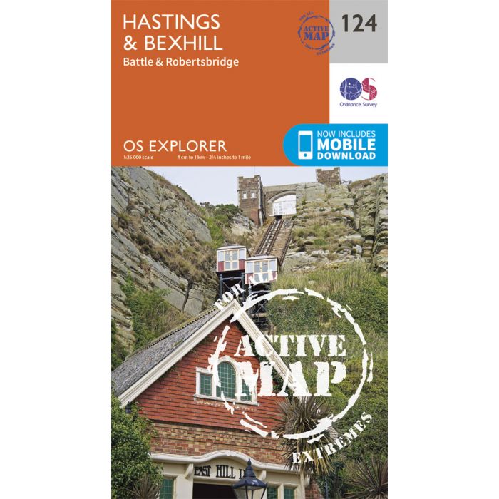
Map sheet number 124 in the OS Explorer series covers Hastings, Winchelsea, Battle, Bexhill and Robertsbridge. Highlights of the area include: High Weald, Pevensey Levels, Pevensey Bay, 1066 Walk, 1066 Country Walk, Royal Military Canal Path and views of the English Channel.
Includes mobile downloadWith this map you will receive a code for use on your iOS or Android smartphone or tablet. Find our more at Mobile Download FAQ
| Wydawca | Ordnance Survey |
|---|---|
| Kategoria | Składane |
| Kolejność | 8.0 |
| Brak prawa zwrotu | Nie |
| Czy są czasy przejść? | Nie |
| Czy są szlaki biegówek? | Nie |
| Czy są szlaki turystyczne? | Nie |
| Skala główna | 25000 |
| Block send with Locker | Nie |