EXP131 Romsey / Andover / Test Valley
54,40 zł
Brak w magazynie
SKU
229065
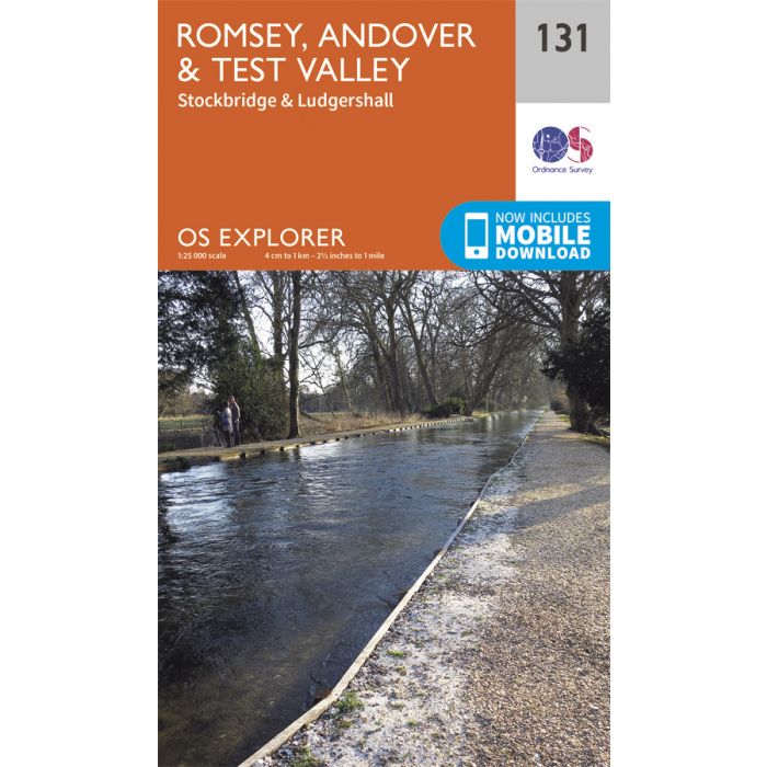
Map sheet number 131 in the OS Explorer series covers the area from Oxenwood and Ashmansworth in the north to Romsey and Redlynch in the south. Highlights of the area include: Andover, Ludgershall, Stockbridge and the walks of the Test Way, Clarendon Way and Monarch's Way.
Includes mobile downloadWith this map you will receive a code for use on your iOS or Android smartphone or tablet. Find our more at Mobile Download FAQ.
| Wydawca | Ordnance Survey |
|---|---|
| Kategoria | Składane |
| Kolejność | 8.0 |
| Brak prawa zwrotu | Nie |
| Czy są czasy przejść? | Nie |
| Czy są szlaki biegówek? | Nie |
| Czy są szlaki turystyczne? | Nie |
| Skala główna | 25000 |
| Block send with Locker | Nie |