EXP125 Romney Marsh / Rye / Winchelsea
54,40 zł
Brak w magazynie
SKU
229059
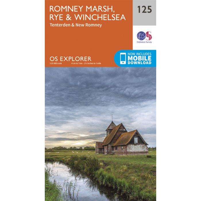
Map sheet number 125 in the OS Explorer series covers High Weald between East Sussex and Kent on the south coast of England. The map covers an area from Tenterden, New Romney and Rye, and includes walks such as Saxon Shore Way, the 1066 Country Walk and Sussex Border Path.
Includes mobile downloadWith this map you will receive a code for use on your iOS or Android smartphone or tablet. Find our more at Mobile Download FAQ
| Wydawca | Ordnance Survey |
|---|---|
| Kategoria | Składane |
| Kolejność | 8.0 |
| Brak prawa zwrotu | Nie |
| Czy są czasy przejść? | Nie |
| Czy są szlaki biegówek? | Nie |
| Czy są szlaki turystyczne? | Nie |
| Skala główna | 25000 |
| Block send with Locker | Nie |