Everest Region trekking map
38,00 zł
Brak w magazynie
SKU
PFT3A001
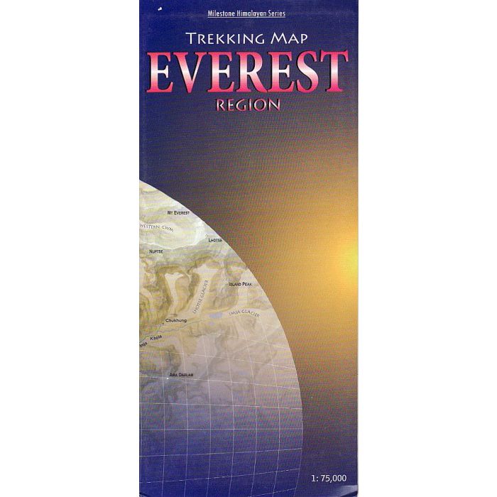
Detailed, easy-to-read fold-out map showing all major trails. Contour-coloured so that users can visualise the lay of the land, picturing mountain ranges and other relief features with ease. The map covers the Everest and Gokyo regions and beyond,from Lukla all the way to the Rongbuk Glacier in Tibet and as far as Mt Makalu in the east. Shown in detail are the trails to RenjoLa Pass, Mera Peak, and Island Peak and through AmphuLapcheLa Pass and the Hongu valley. Most major settlements and campsites shown on the trails, as also peaks, are marked along with their altitudes, in both metres and feet.
| Wydawca | Milestone Books |
|---|---|
| Kategoria | Składane |
| Kolejność | 1.01143179827593 |
| Brak prawa zwrotu | Nie |
| Czy są czasy przejść? | Nie |
| Czy są szlaki biegówek? | Nie |
| Czy są szlaki turystyczne? | Nie |
| Skala główna | 75000 |
| Block send with Locker | Nie |