Brighton & Lewes Worthing, Horsham & Haywards Heath (L 198)
61,10 zł
Brak w magazynie
SKU
174586
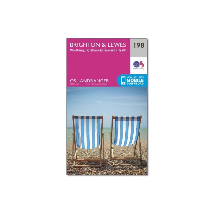
Map sheet number 198 in the OS Landranger map series covers the South Downs in East Sussex, Brighton, Worthing, Lewes, Haywards Heath, Horsham, Burgess Hill, Shoreham-by-sea, Newhaven, Seaford and Uckfield. Highlights of the area include: South Downs National Park and the South Downs Way. The map covers an area of 40 km by 40 km (25 miles by 25 miles).
| Wydawca | Ordnance Survey |
|---|---|
| Kategoria | Składane |
| Kolejność | 8.0 |
| Brak prawa zwrotu | Nie |
| Czy są czasy przejść? | Nie |
| Czy są szlaki biegówek? | Nie |
| Czy są szlaki turystyczne? | Nie |
| Seria wydawnicza | 256 |
| Skala główna | 50000 |
| Block send with Locker | Nie |