Bled pocket guide
38,30 zł
Brak w magazynie
SKU
220933
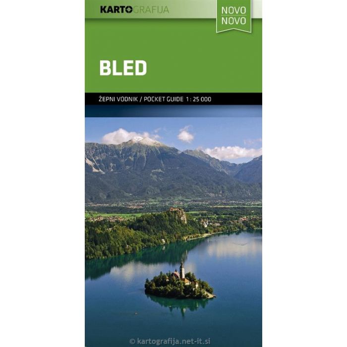
Small handy map of part of the Julian Alps and surrounding areas. Folded it has a size of 10 x 5 cm and unfolded 55 x 52 cm. On the back is tourist information in for exemple English.
On the map itself, with a scale of 1: 25,000, walking routes, cycling routes, sights, accommodations and national parks are well marked. Campsites and mountain huts are not lacking.
| Wydawca | Kartografija |
|---|---|
| Kategoria | Składane |
| Kolejność | 8.0 |
| Brak prawa zwrotu | Nie |
| Czy są czasy przejść? | Nie |
| Czy są szlaki biegówek? | Nie |
| Czy są szlaki turystyczne? | Nie |
| Skala główna | 25000 |
| Block send with Locker | Nie |