Aberystwyth & Machynlleth (L 135)
61,10 zł
Brak w magazynie
SKU
174536
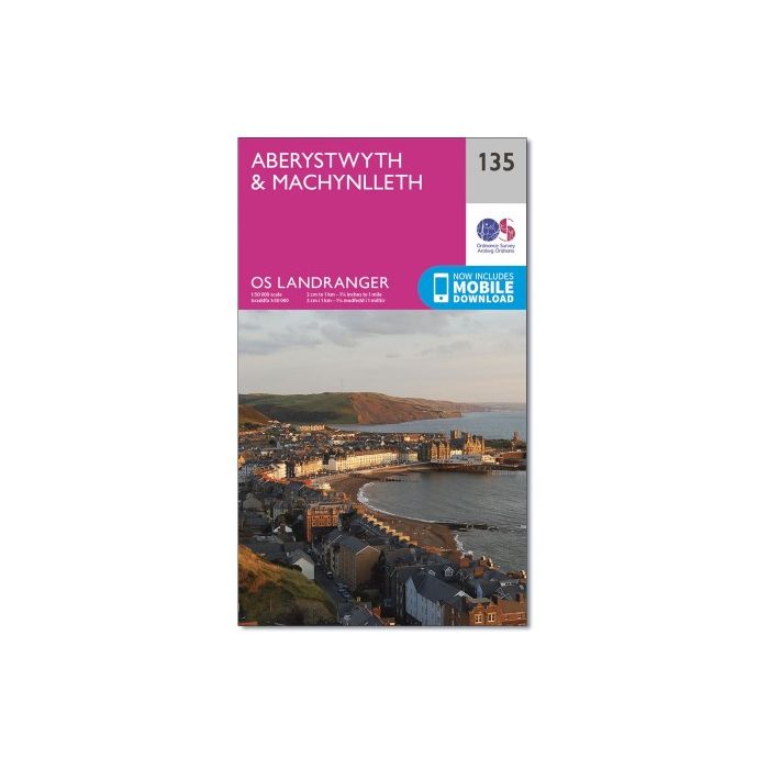
Map sheet number 135 in the OS Landranger map series is the ideal map for planning days out and holidays on the west coast of Wales. From the lower edge of Snowdonia National Park and the nearby Machynlleth to the town of Aberystwyth, this area offers lots of outdoor activities and drives with wonderful scenery. Other areas included in the map area are Ponterwyd, Llanddeiniol and Aberhosan.
| Wydawca | Ordnance Survey |
|---|---|
| Kategoria | Składane |
| Kolejność | 1.01130189945438 |
| Brak prawa zwrotu | Nie |
| Czy są czasy przejść? | Nie |
| Czy są szlaki biegówek? | Nie |
| Czy są szlaki turystyczne? | Nie |
| Seria wydawnicza | 256 |
| Skala główna | 50000 |
| Block send with Locker | Nie |